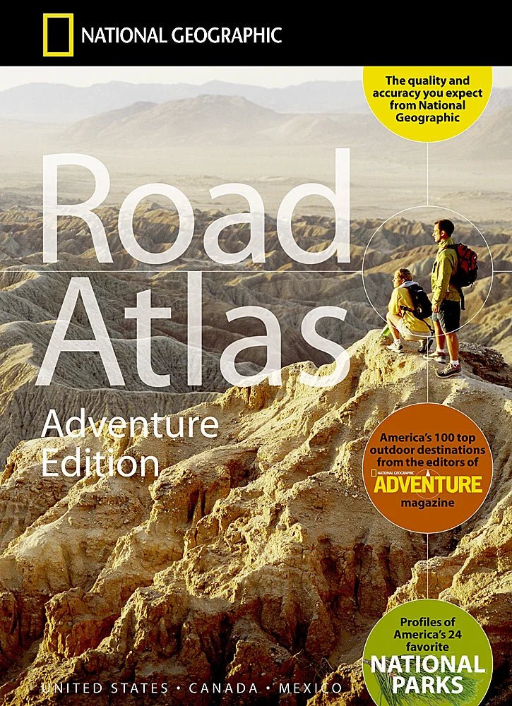
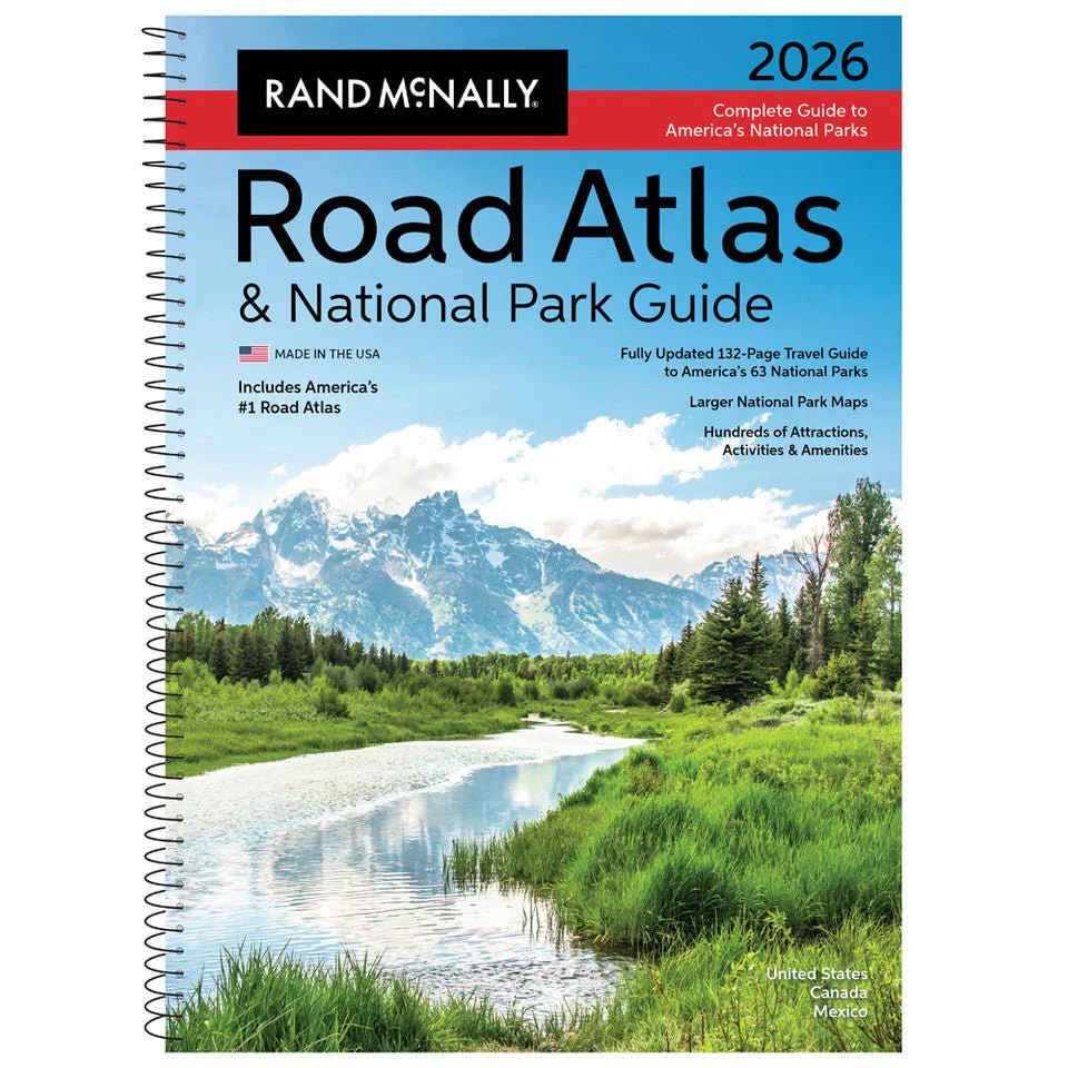
2026 Road Atlas & National Park Guide
Showcasing this country’s astonishing beauty, the 2026 Rand McNally Road Atlas & National Park Guide has been fully updated with expanded content and larger park maps. Featuring hundreds of photos, essential visitor information, and expert travel tips for all 63 of America’s national parks. Includes a complete 2026 Rand McNally Road Atlas for effortless navigation!
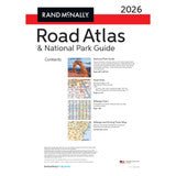
Features Include
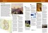
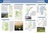
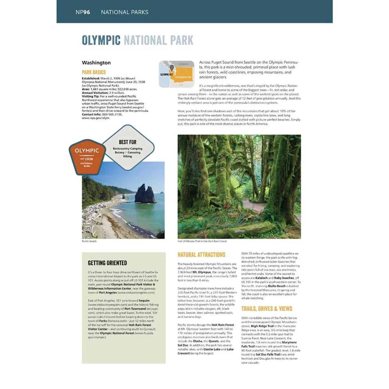
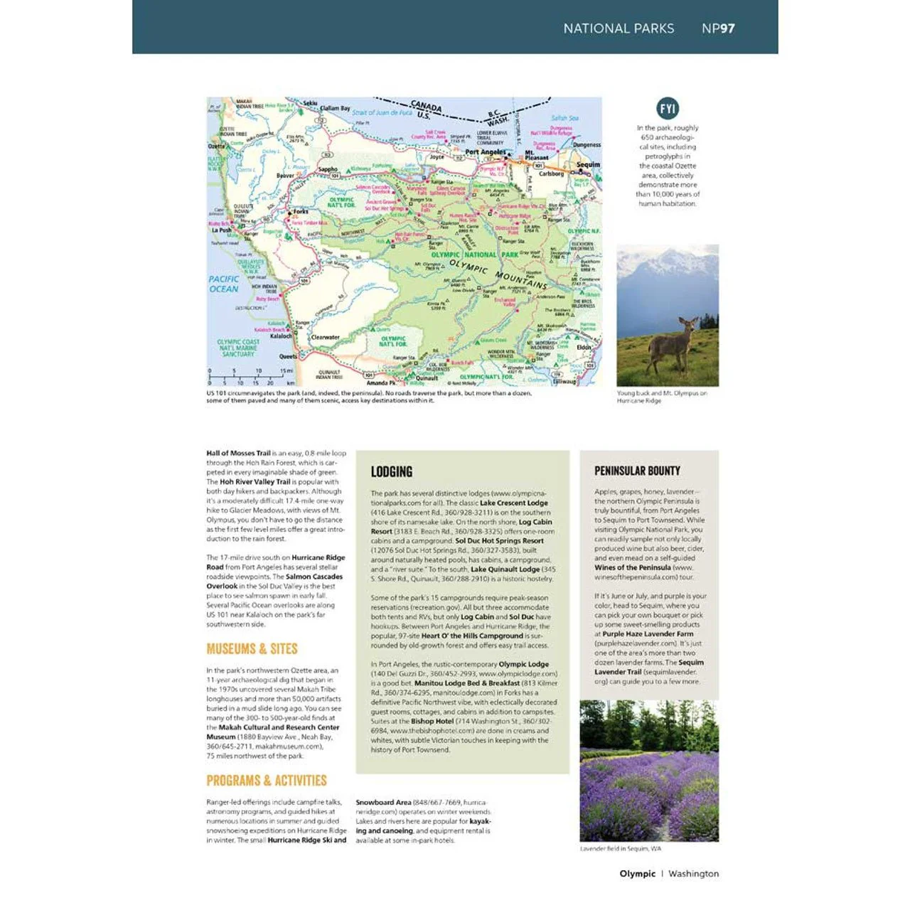
- A four-color, 132-page National Park Guide details the best of the best in each park---from trails, drives, and natural wonders to programs, museums, and lodges.
- Hundreds of photos capture the essence of each park.
- Larger park inset maps highlight key points-of-interest.
- A complete 2026 Rand McNally Road Atlas for planning and mapping out your trip.
Additional Features
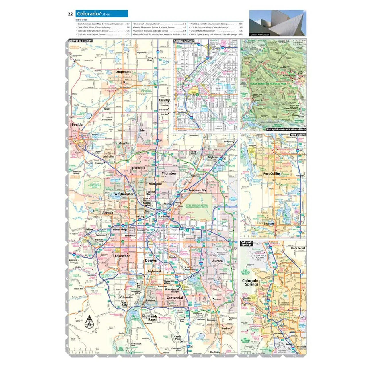
- Updated maps of every U.S. state, Canadian province, and an overview map of Mexico.
- Inset maps of over 375 cities and 63 U.S. national parks.
- Road construction and conditions contact information for every U.S. state and Canadian province conveniently located above the maps.
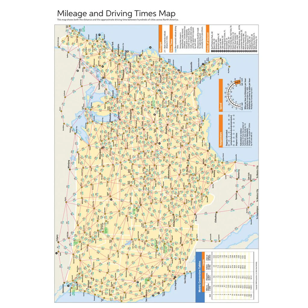
- Mileage chart showing distances between 90 North American cities and national parks along with a driving times map.
- Tell Rand! As much as we work to keep our atlases up to date, conditions change quickly and new construction projects begin frequently. If you know of something we haven’t captured in our atlas, let us know at printproducts@randmcnally.com
- Tourism websites and phone numbers for every U.S. state and Canadian province on map pages.
- Made in the USA
- Paperback
- Spiral bound
- 272 pages
- Dimensions: 10.875" x 15.3125
Product Information
Product Information
Shipping & Returns
Shipping & Returns
2026 Road Atlas & National Park Guide
2026 Road Atlas & National Park Guide
Showcasing this country’s astonishing beauty, the 2026 Rand McNally Road Atlas & National Park Guide has been fully updated with expanded content and larger park maps. Featuring hundreds of photos, essential visitor information, and expert travel tips for all 63 of America’s national parks. Includes a complete 2026 Rand McNally Road Atlas for effortless navigation!
Features Include
- A four-color, 132-page National Park Guide details the best of the best in each park---from trails, drives, and natural wonders to programs, museums, and lodges.
- Hundreds of photos capture the essence of each park.
- Larger park inset maps highlight key points-of-interest.
- A complete 2026 Rand McNally Road Atlas for planning and mapping out your trip.
Additional Features
- Updated maps of every U.S. state, Canadian province, and an overview map of Mexico.
- Inset maps of over 375 cities and 63 U.S. national parks.
- Road construction and conditions contact information for every U.S. state and Canadian province conveniently located above the maps.
- Mileage chart showing distances between 90 North American cities and national parks along with a driving times map.
- Tell Rand! As much as we work to keep our atlases up to date, conditions change quickly and new construction projects begin frequently. If you know of something we haven’t captured in our atlas, let us know at printproducts@randmcnally.com
- Tourism websites and phone numbers for every U.S. state and Canadian province on map pages.
- Made in the USA
- Paperback
- Spiral bound
- 272 pages
- Dimensions: 10.875" x 15.3125
Product Information
Product Information
Shipping & Returns
Shipping & Returns
Description
Showcasing this country’s astonishing beauty, the 2026 Rand McNally Road Atlas & National Park Guide has been fully updated with expanded content and larger park maps. Featuring hundreds of photos, essential visitor information, and expert travel tips for all 63 of America’s national parks. Includes a complete 2026 Rand McNally Road Atlas for effortless navigation!
Features Include
- A four-color, 132-page National Park Guide details the best of the best in each park---from trails, drives, and natural wonders to programs, museums, and lodges.
- Hundreds of photos capture the essence of each park.
- Larger park inset maps highlight key points-of-interest.
- A complete 2026 Rand McNally Road Atlas for planning and mapping out your trip.
Additional Features
- Updated maps of every U.S. state, Canadian province, and an overview map of Mexico.
- Inset maps of over 375 cities and 63 U.S. national parks.
- Road construction and conditions contact information for every U.S. state and Canadian province conveniently located above the maps.
- Mileage chart showing distances between 90 North American cities and national parks along with a driving times map.
- Tell Rand! As much as we work to keep our atlases up to date, conditions change quickly and new construction projects begin frequently. If you know of something we haven’t captured in our atlas, let us know at printproducts@randmcnally.com
- Tourism websites and phone numbers for every U.S. state and Canadian province on map pages.
- Made in the USA
- Paperback
- Spiral bound
- 272 pages
- Dimensions: 10.875" x 15.3125